


Trekking
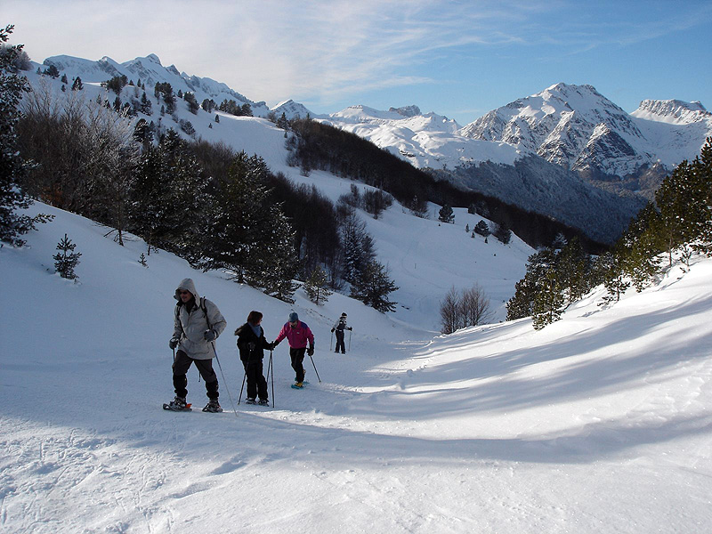
The Aspe/Jacetania territory is an ideal location for trekking, mountaineering, rock-climbing, cross-country skiing, long distance walks and other new disciples such as Nordic Walking which consists in walking briskly with two special walking sticks so as to improve the walker’s fitness, muscle tone, cardiovascular functions, coordination and mobility. The Jacetania area is a pioneer in the sign-posting of specific routes for this purpose.
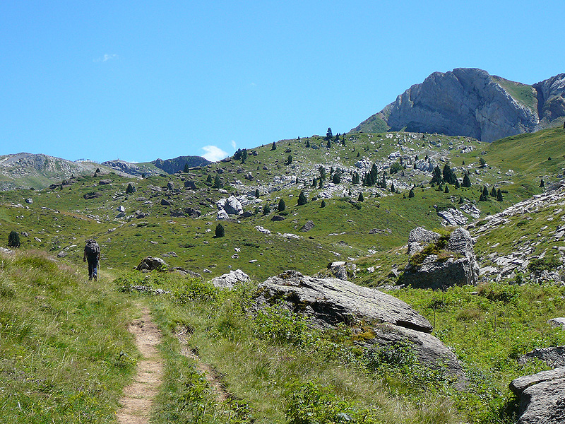
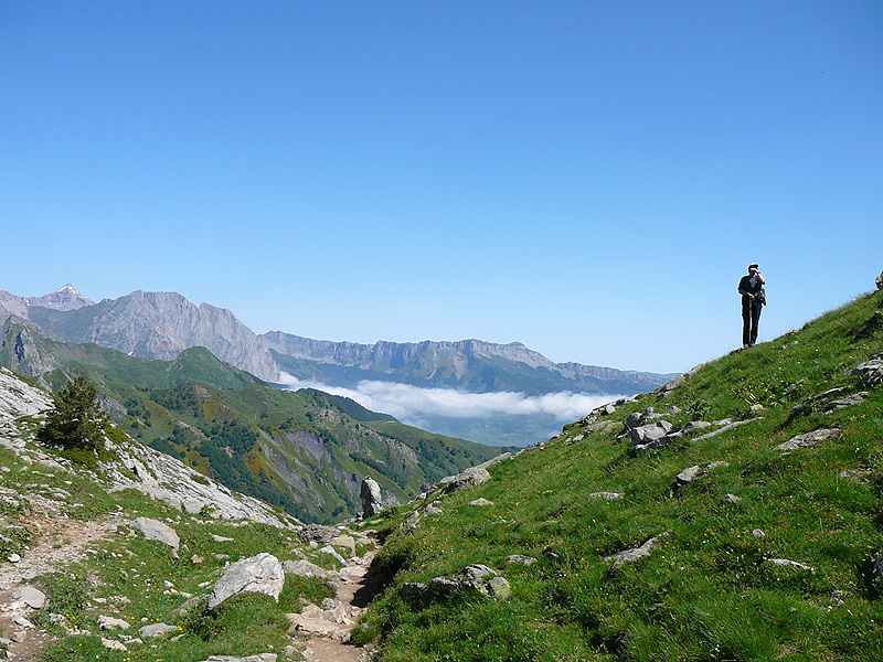
The Pyrenees is the second most important mountain range in Europe after the Alps and offers an unlimited choice of tracks, paths, routes and mountains suitable for all levels of fitness. The most important of these is the Aragonese branch of the Santiago Pilgrimage Route which ascends the Aspe Valley and begins its descent through Spanish soil from the Somport pass, traversing virtually the entire Jacetania area. The great GR11 route, which runs along the southern slopes of the Pyrenean range, also crosses this territory and is, without a doubt, one of the most popular and well-trodden paths chosen by hikers. On the northern slopes, its counterpart – the GR10 – makes its way through the heart of the Aspe Valley and the National Park of the Pyrenees.
GR 11
The GR11 from east to west enters the Jacetania Area via the massif of Anayet and penetrates Canal Roya before arriving at the Lacuars refuge. The track descends sharply to the Canfranc valley floor and continues towards Candanchu. From the ski resort, it links up with Selva de Oza, Zuriza and Izaba, the latter already in Navarre.
GR 10
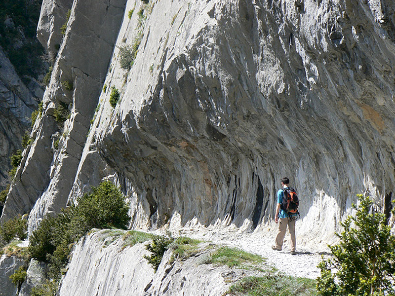
The 27th section of the GR10, from east to west, crosses the Aspe Valley from the surroundings of the Midi d’Ossau peak. After traversing Larry’s Fork, the cabin of Baigt Sencours and the forests that cover the slopes of the Gaziès Peak, the walker arrives at the impressive gorge of the Path of la Mature. Following the right bank of the Gave d’Aspe and continuing past the Portalet Fort leads us to Borce, after which we ascend to the formidable cirque of Lescun and finally to the scattered farmhouses of Lhers.
The Network of Paths in the Valleys of the Jacetania Area
This is a series of footpaths which are being recovered by the Consortium of the Valleys in order to promote this territory. It includes the following footpaths:
SV 1. – Footpath to the Plana Monteoscuro (FAGO)
SV 2. – Footpath from Ansó to Zuriza (ANSO)
SV 3. – Footpath Punta Santidoro and Reclusa Valley (SIRESA)
SV 4. – Footpath along the Betato (EMBUN)
SV 5. – Footpath through the beechwood forests of Tremuito (ARAGÜES DEL PUERTO)
SV 6. – Footpath of the Corrals (ARAGÜES DEL PUERTO)
SV 7. – Footpath from Jasa to Sinués (JASA)
SV 8. – Footpath of the Marguera (AISA)
SV 9. – Footpath to the Caves of Abi (AISA)
SV 10. – Footpath to St Adrian of Sasabe (BORAU)
SV. – Old footpath from Fago to Majones (FAGO)
SV. – Footpath to the Susuei Caves via las Pardinas(HECHO)
SV. – Footpath through the Articaviella Plain (JASA)
SV. – Footpath of the Puyarrón Refuge (ARAGÜES DEL PUERTO)
Network of Footpaths in the Jacetania Area
“Migration Route to Summer Pastures” Berdún – Ansó
Main track between Aisa y Jasa
Footpath from Embún to Sinués
Old footpath from Aragüés to Urdués
Footpath through Urdués Gorge
Villanúa/Canfranc–Ip Pass
Route of the Holy Grail (From Bailo to San Juan de la Peña)
Sigüés–Salvatierra de Esca
Network of Footpaths in Canfranc
The Town Hall of Canfranc has recovered and sign-posted a total of 100 kilometres of footpaths around the Arañones mountain. This has also led to the restoration of some of the heritage associated with these paths, such as water springs and elements of old engineering works for the prevention of avalanches.
The main aim of the town council was to make available to hikers the footpaths which were originally made in order to build the avalanche and flood defences required to protect the International Station of Canfranc. These are paths that reveal a hidden history of Canfranc and which had previously been overgrown and damaged by landslides and avalanches.
Footpaths of Villanua
The Town Hall of Villanua operates a transport network taking visitors to the beginning of a series of pathways on the Collarada massif. This service provides a means of getting to the Trapa de Collarada. A number of excursions can be made from this point, either on foot or on mountain bikes: Collarada, La Espata, the Tarn of Ip and the route to Canfranc are just some of these.
Excursions-Walks in the Aspe Valley
The Jaupins Footpath
The Aoulet Footpath
The Cabins and Lake of Ansabère
Estanes Tarn/ Estaëns Lake
The Path of la Matûre / Le chemin de la Matûre
Other excursions and footpaths
Canfranc-Campas de Gabardito
Grosín Peak
San Juan de la Peña- Cuculo Hill
Walks through the surroundings of Jaca
“Camille’s Path” in the Hecho Valley
Ornithological Route of the Jacetania Area
Jaca Tourist Office . [ COMUNES ]
Also consult...
¤ Monuments
¤ Nature
¤ Villages
¤ Sport
¤ Tourist Offices
¤ Museums and Interpretation Centres
Guided tours 360°
Ciudadela de Jaca
[Español] · [Inglés]
Monasterio de San Juan de la Peña
[Español] · [Inglés]
Fort du Portalet
[Español] · [Francés]
follow us in...


 Comarca de La Jacetania
C/ Ferrocarril s/n 22700
JACA (Huesca)
T. (+34) 974 356 980
F. (+34) 974 355 241
:: Oficina de Turismo de JACA: 974 360 098
:: Oficina de Turismo de CANFRANC:
974 373 141
Site Map